


Rajesh’s Daughter Discovered Egypt From Her Bedroom in Indore
Rajesh Kumar sat in his small electronics shop in Indore, worried. His daughter, Priya, had just scored poorly on her geography exam. She’d memorised capitals and rivers, but she couldn’t visualise where they actually were. That evening, Rajesh borrowed a neighbour’s laptop and showed Priya Google Earth. She zoomed into the pyramids of Giza, rotated the view, and suddenly gasped. “Papa, I can actually see it!” Within weeks, her grades improved. But Rajesh realised something bigger: his daughter had discovered the world without leaving home. This is the power of interactive maps for students like Priya, and it’s changing how young people learn geography.
Interactive maps aren’t just tools anymore. They’re windows that open your mind to places you’ll never visit in person. For students in tier 2 and tier 3 cities across India, these digital maps level the playing field. You don’t need expensive field trips or international travel. Your child can explore the Sahara Desert, track monsoon patterns, or study urban development in Tokyo from your home.
What Are Interactive Maps and Why Do Students Need Them?
Interactive maps are digital geography tools that let you click, zoom, rotate, and explore real locations on Earth. Unlike static textbook maps, these tools show 3D terrain, satellite imagery, street views, and even historical changes. Your student can see how a city has grown over decades or understand why certain regions have specific climates.
Traditional learning makes geography abstract. You read “The Nile River is 6,650 kilometres long” and forget it by next week. But when you zoom into the Nile Delta using interactive maps, see the green fields contrasting with desert sand, and trace the river’s path, it sticks. You remember because you’ve experienced it visually.
For students preparing for competitive exams or board exams, interactive maps solve a real problem. Many questions ask about locations, distances, and geographical relationships. These tools help you answer with confidence because you’ve actually seen the terrain.
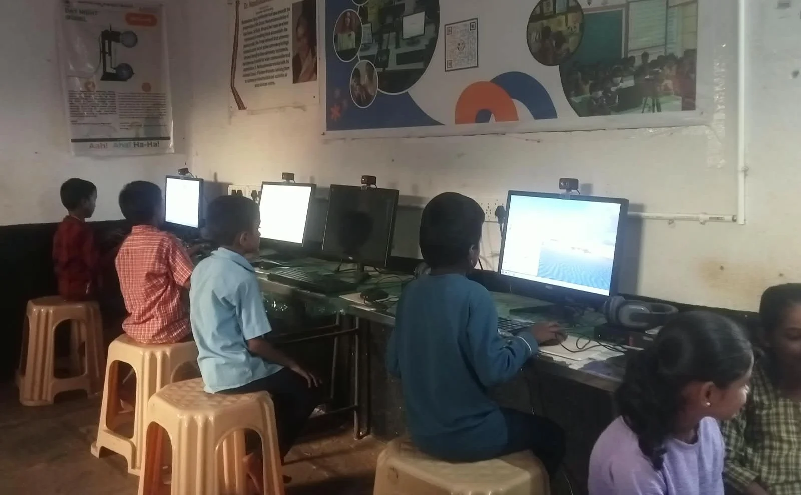
Top Interactive Map Tools Your Student Should Know
- Google Earth: The most popular choice. Free and incredibly detailed. You can explore any location, see historical imagery, and even measure distances. Perfect for project work and research.
- OpenStreetMap: Community-built and detailed. Great for understanding how maps are created and for studying urban planning.
- Worldometers: Shows real-time data like population, birth rates, and economic indicators mapped to locations. Useful for understanding global statistics.
- NASA Earth Observatory: Shows satellite imagery and climate data. Excellent for environmental science projects.
- DIKSHA: DIKSHA is India’s official learning platform with geography content and interactive resources aligned with your school curriculum.
How to Use Interactive Maps for Better Learning
Start with your textbook. Find a topic you’re studying. Then open an interactive map and explore it. Don’t just passively watch. Ask yourself questions. Why is this city located here? What’s the terrain like? How does geography affect the people living there?
Create projects using these tools. Your student can make presentations comparing two regions, or track how climate zones change from the equator to the poles. When you create something, you learn faster. You can even make educational videos explaining what you’ve discovered.
Use maps to prepare for exams. Before an exam, spend 15 minutes exploring the regions you’ll be tested on. This visual preparation is more effective than rereading notes. Your brain remembers images better than text.
Interactive maps for students can also become a group study habit that makes revision feel lighter.
Collaborate with classmates. Share interesting discoveries you’ve found on maps. Discuss why certain patterns exist. This turns learning into conversation instead of memorisation.
The Role of Technology in Making Geography Real
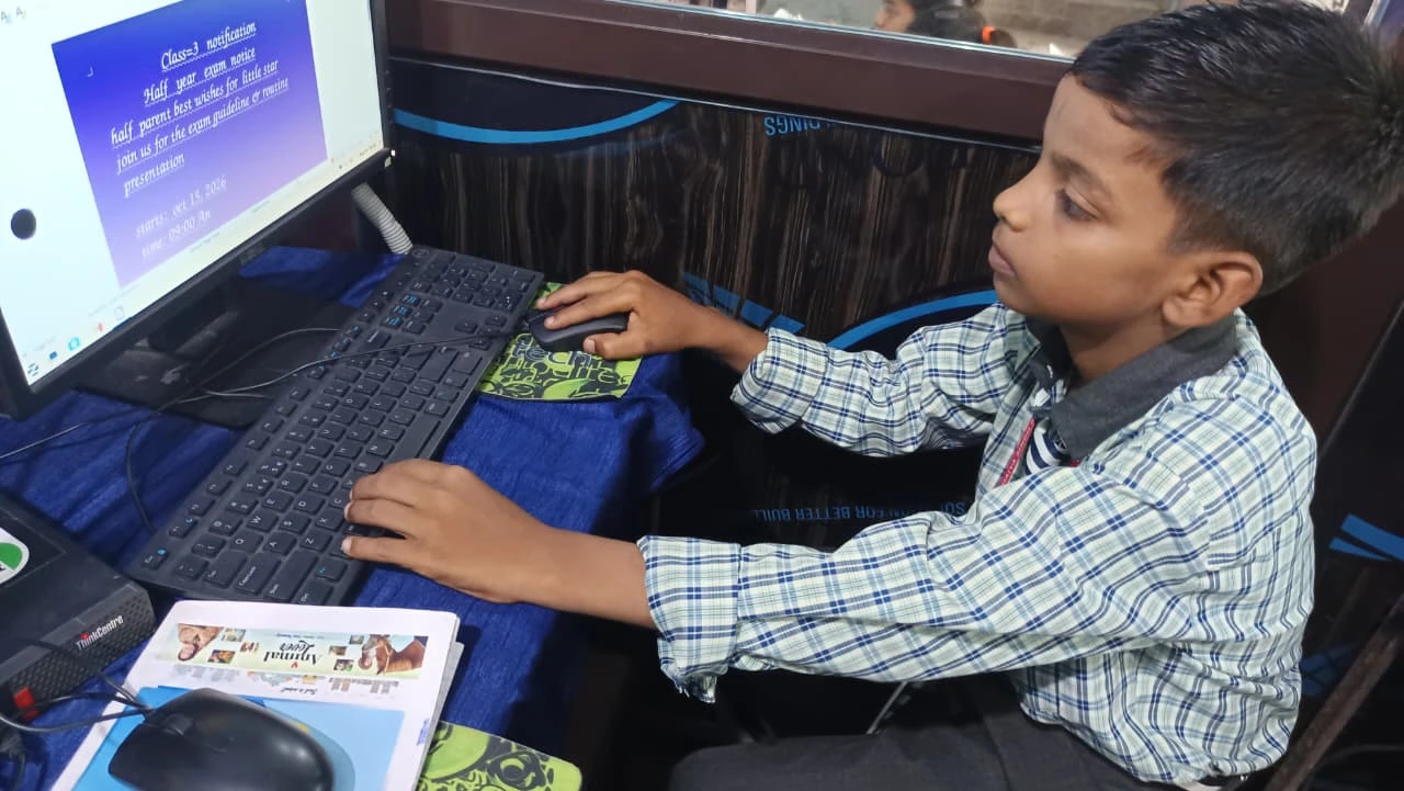
Technology has transformed geography education. UNESCO education research shows that visual learning tools improve retention by up to 65%. Interactive maps give you that visual advantage.
A good computer makes this experience smooth. You need enough RAM and storage to run these tools without lag. The Apna PC by Apni Pathshala comes with 8GB RAM and a 128GB SSD, which is perfect for students. It’s pre-loaded with tools like Scratch and LibreOffice, so you’re ready to learn immediately. At Rs.30,000 (shipping and GST excluded), it’s an investment in your child’s education.
Interactive Maps Beyond Geography Class
Interactive maps for students reach far beyond geography class. History students can see ancient civilisations mapped out. Environmental science students can track pollution levels and deforestation. Urban planning students can study city layouts. Your child’s learning expands across subjects.
Career exploration becomes easier too. Your student can virtually visit universities, research institutions, and companies worldwide. This inspires ambition and helps with future planning.
Start Your Child’s Journey Today
Priya from Indore went from failing geography to scoring 95%. She didn’t become a genius. She just started seeing the world instead of memorising it. Your child can do the same. Interactive maps for students aren’t a luxury anymore. They’re a necessity in modern education.
Set up a learning space at home with a reliable computer. Download a few interactive map tools. Encourage your student to explore one new place every week. Watch their curiosity grow, and their grades improve. The world is waiting to be explored, and it’s right there on your screen. Visit apnapc.com to learn more.